Track at Cannington
Introduction
The photograph on this page of Track at Cannington by Derek Harper as part of the Geograph project.
The Geograph project started in 2005 with the aim of publishing, organising and preserving representative images for every square kilometre of Great Britain, Ireland and the Isle of Man.

There are currently over 7.5m images from over 14,400 individuals and you can help contribute to the project by visiting https://www.geograph.org.uk
Track at Cannington
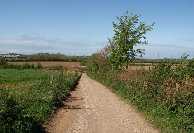
Image: © Derek Harper Taken: 16 Apr 2011
Footpath BW 5/4 follow this track, turning right at the building in the valley and heading out across the levels to the Parrett estuary. Rodway Farm, on the extreme left, is in Image
Images are licensed for reuse under creativecommons.org/licenses/by-sa/2.0
Image Location
Latitude
51.155913
Longitude
-3.056926