Lutterworth-The Shambles
Introduction
The photograph on this page of Lutterworth-The Shambles by Ian Rob as part of the Geograph project.
The Geograph project started in 2005 with the aim of publishing, organising and preserving representative images for every square kilometre of Great Britain, Ireland and the Isle of Man.

There are currently over 7.5m images from over 14,400 individuals and you can help contribute to the project by visiting https://www.geograph.org.uk
Lutterworth-The Shambles
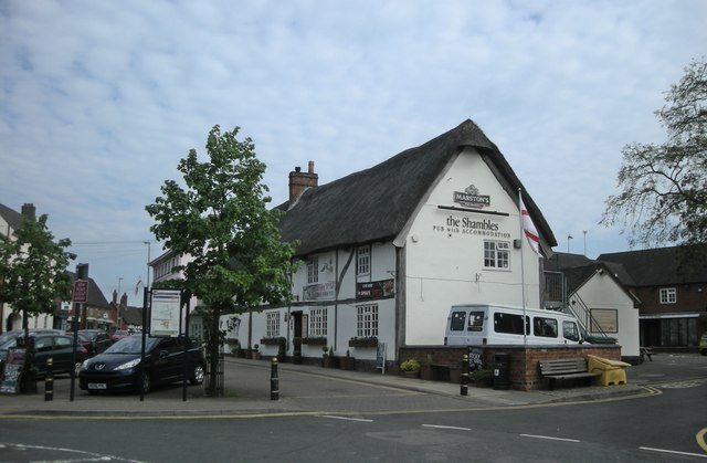
Image: © Ian Rob Taken: 23 Apr 2011
Previously known as The Bell, it was a public house between 1791-1840 then was used as a butcher's shop and private house until it was converted back to a pub again in the early 1980s.
Images are licensed for reuse under creativecommons.org/licenses/by-sa/2.0
Image Location
Latitude
52.455752
Longitude
-1.20087