B3193 approaching Rixeypark Corner
Introduction
The photograph on this page of B3193 approaching Rixeypark Corner by David Smith as part of the Geograph project.
The Geograph project started in 2005 with the aim of publishing, organising and preserving representative images for every square kilometre of Great Britain, Ireland and the Isle of Man.

There are currently over 7.5m images from over 14,400 individuals and you can help contribute to the project by visiting https://www.geograph.org.uk
B3193 approaching Rixeypark Corner
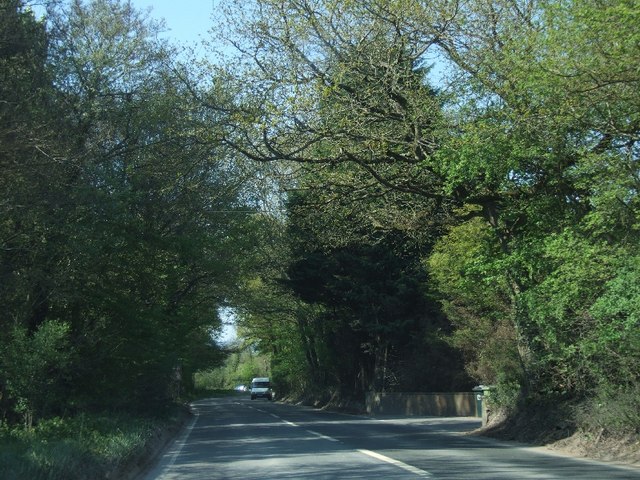
Image: © David Smith Taken: 21 Apr 2011
For those travelling north on the B3193, these woods mark the end of the ball clay landscape, although there are pits behind the woodland on the left.
Images are licensed for reuse under creativecommons.org/licenses/by-sa/2.0
Image Location
Latitude
50.576659
Longitude
-3.622398