Riverhead, Driffield
Introduction
The photograph on this page of Riverhead, Driffield by Paul Harrop as part of the Geograph project.
The Geograph project started in 2005 with the aim of publishing, organising and preserving representative images for every square kilometre of Great Britain, Ireland and the Isle of Man.

There are currently over 7.5m images from over 14,400 individuals and you can help contribute to the project by visiting https://www.geograph.org.uk
Riverhead, Driffield
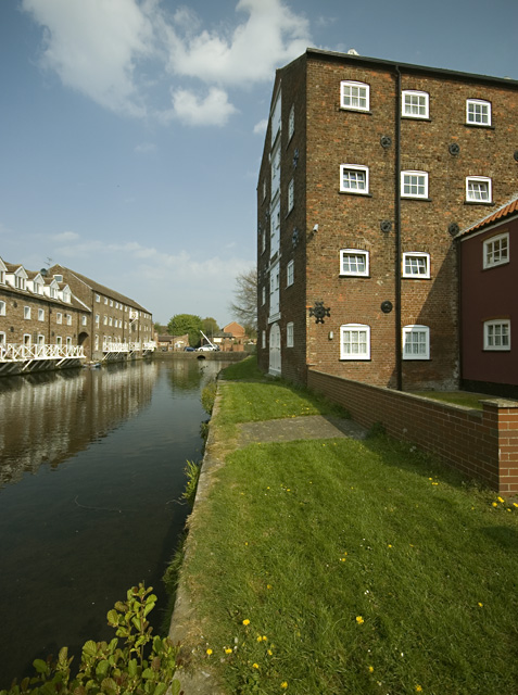
Image: © Paul Harrop Taken: 22 Apr 2011
Probably the most attractive corner of the town, the area marks the end of the Driffield Navigation and comprises residential conversions of former mill buildings as well as newer waterside properties.
Images are licensed for reuse under creativecommons.org/licenses/by-sa/2.0
Image Location
Latitude
54.000982
Longitude
-0.432229