Oilseed rape by the A262
Introduction
The photograph on this page of Oilseed rape by the A262 by Oast House Archive as part of the Geograph project.
The Geograph project started in 2005 with the aim of publishing, organising and preserving representative images for every square kilometre of Great Britain, Ireland and the Isle of Man.

There are currently over 7.5m images from over 14,400 individuals and you can help contribute to the project by visiting https://www.geograph.org.uk
Oilseed rape by the A262
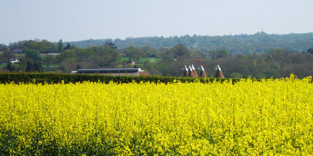
Image: © Oast House Archive Taken: 19 Apr 2011
Looking across to Spelmonden Farm where two oast houses can be seen, to the left modern ridge ventilated barn and traditional rounded kiln oast to the right
Images are licensed for reuse under creativecommons.org/licenses/by-sa/2.0
Image Location


Leaflet Map data © OpenStreetMap
Latitude
51.109502
Longitude
0.423411