Astley Hall
Introduction
The photograph on this page of Astley Hall by Phil Platt as part of the Geograph project.
The Geograph project started in 2005 with the aim of publishing, organising and preserving representative images for every square kilometre of Great Britain, Ireland and the Isle of Man.

There are currently over 7.5m images from over 14,400 individuals and you can help contribute to the project by visiting https://www.geograph.org.uk
Astley Hall
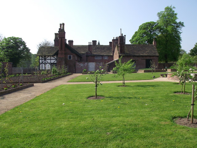
Image: © Phil Platt Taken: 22 Apr 2011
Near Chorley in Lancashire. This is the rear elevation seen from the walled garden. The house was originally built in the 1500s, and has been added to and extended several times. The house and parklands are now in the care and administration of Chorley Borough Council.
Images are licensed for reuse under creativecommons.org/licenses/by-sa/2.0
Image Location
Latitude
53.660165
Longitude
-2.645506