Woolpit village, Suffolk
Introduction
The photograph on this page of Woolpit village, Suffolk by Robert Edwards as part of the Geograph project.
The Geograph project started in 2005 with the aim of publishing, organising and preserving representative images for every square kilometre of Great Britain, Ireland and the Isle of Man.

There are currently over 7.5m images from over 14,400 individuals and you can help contribute to the project by visiting https://www.geograph.org.uk
Woolpit village, Suffolk
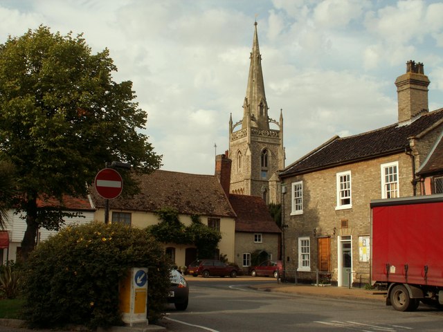
Image: © Robert Edwards Taken: 6 Sep 2006
Woolpit is a very attractive village with many old listed buildings and this scene shows the heart of the village where three roads meet. The parish church of St. Mary stands in the background.
Images are licensed for reuse under creativecommons.org/licenses/by-sa/2.0
Image Location
Latitude
52.224417
Longitude
0.888706