Greenhill Way, Haywards Heath
Introduction
The photograph on this page of Greenhill Way, Haywards Heath by Simon Carey as part of the Geograph project.
The Geograph project started in 2005 with the aim of publishing, organising and preserving representative images for every square kilometre of Great Britain, Ireland and the Isle of Man.

There are currently over 7.5m images from over 14,400 individuals and you can help contribute to the project by visiting https://www.geograph.org.uk
Greenhill Way, Haywards Heath
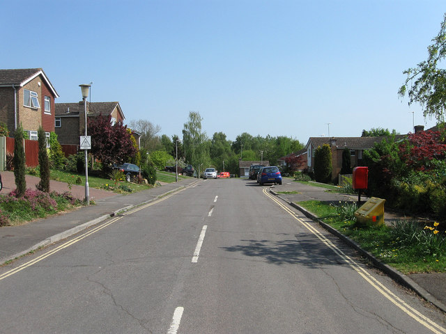
Image: © Simon Carey Taken: 20 Apr 2011
Viewed from the junction with Hurstwood Lane, this section was built in the early 1970s on what was , according to Wivelsfield's 1843 tithe map, a field called Six Acres. This area was part of Wivelsfield parish until it was transferred to Haywards Heath in 1934.
Images are licensed for reuse under creativecommons.org/licenses/by-sa/2.0
Image Location
Latitude
50.989564
Longitude
-0.087424