Little Lunces (1)
Introduction
The photograph on this page of Little Lunces (1) by Simon Carey as part of the Geograph project.
The Geograph project started in 2005 with the aim of publishing, organising and preserving representative images for every square kilometre of Great Britain, Ireland and the Isle of Man.

There are currently over 7.5m images from over 14,400 individuals and you can help contribute to the project by visiting https://www.geograph.org.uk
Little Lunces (1)
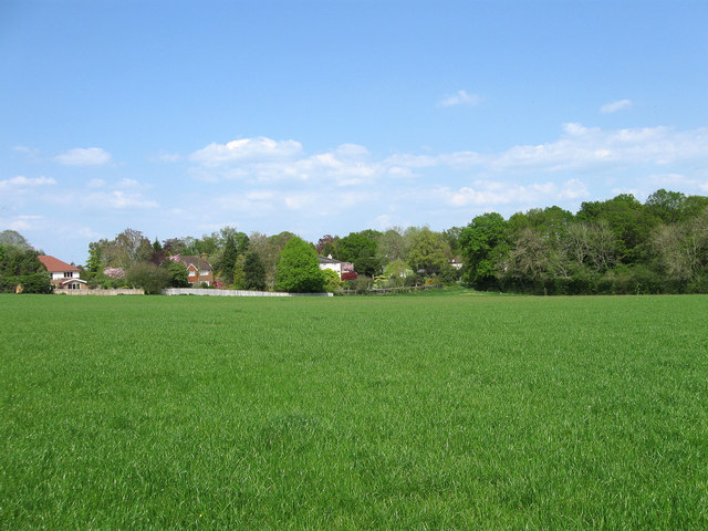
Image: © Simon Carey Taken: 20 Apr 2011
The name of the field according to Wivelsfield's 1843 tithe map which is to the east of Image and has been extended to include Image and Image to the south. The houses in the distance face onto Lewes Road, the A272, and are in Haywards Heath.
Images are licensed for reuse under creativecommons.org/licenses/by-sa/2.0
Image Location
Latitude
50.990268
Longitude
-0.080983