Asylum Wood
Introduction
The photograph on this page of Asylum Wood by Simon Carey as part of the Geograph project.
The Geograph project started in 2005 with the aim of publishing, organising and preserving representative images for every square kilometre of Great Britain, Ireland and the Isle of Man.

There are currently over 7.5m images from over 14,400 individuals and you can help contribute to the project by visiting https://www.geograph.org.uk
Asylum Wood
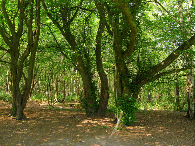
Image: © Simon Carey Taken: 20 Apr 2011
A small remnant of a much larger wood that once occupied the area between Hurstwood Lane and Colwell Lane. Not named on the 1843 and probably given the current one after the nearby asylum was completed in 1859. There are a lot of permissive paths in the vicinity as well as a small housing estate which means the wood is probably well used by locals adults and children alike.
Images are licensed for reuse under creativecommons.org/licenses/by-sa/2.0
Image Location
Latitude
50.987264
Longitude
-0.084241