The Vicarage Botanical Gardens
Introduction
The photograph on this page of The Vicarage Botanical Gardens by David Dixon as part of the Geograph project.
The Geograph project started in 2005 with the aim of publishing, organising and preserving representative images for every square kilometre of Great Britain, Ireland and the Isle of Man.
There are currently over 7.5m images from over 14,400 individuals and you can help contribute to the project by visiting https://www.geograph.org.uk

Image: © David Dixon Taken: 20 Apr 2011
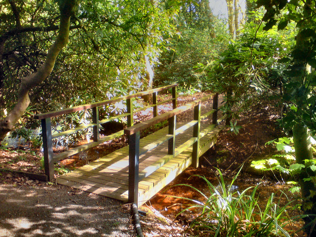
The Vicarage Botanical Gardens are on a site covering 7½ acres, adjacent to the Shell Carrington works on the edge of Carrington Moss. This is the bridge over the stream leading into the woodland area of the site. The following is adapted from http://www.vicaragebotanicalgardens.co.uk/GARDENS/history.asp - Vicarage Botanical Gardens History During the eighteenth century, the Countess of Stamford gave a small cottage with five acres of land to the church for the building of a Chapel of Ease (Image]) and vicarage. After many years the Vicarage became redundant and fell into disrepair. The House Church, set up by a group of Christians from varied backgrounds, growing their own food and keeping animals, bought the Old Vicarage in the mid 1980s, moving north from their original location in Hampshire. A charity was set up and the grounds were landscaped to demonstrate that with God’s help Christians living in harmony and obedience to the Gospel of Christ could, through love, produce a veritable oasis amidst the industrial wasteland on all sides.

