Public Bridleway, Ayton Firs
Introduction
The photograph on this page of Public Bridleway, Ayton Firs by Mick Garratt as part of the Geograph project.
The Geograph project started in 2005 with the aim of publishing, organising and preserving representative images for every square kilometre of Great Britain, Ireland and the Isle of Man.

There are currently over 7.5m images from over 14,400 individuals and you can help contribute to the project by visiting https://www.geograph.org.uk
Public Bridleway, Ayton Firs
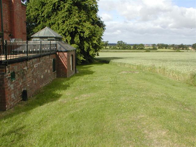
Image: © Mick Garratt Taken: 3 Jul 2005
Running past the former servants quarters of Ayton Firs
Images are licensed for reuse under creativecommons.org/licenses/by-sa/2.0
Image Location


Leaflet Map data © OpenStreetMap
Latitude
54.47783
Longitude
-1.144998