Sheerland House, Pluckley
Introduction
The photograph on this page of Sheerland House, Pluckley by pam fray as part of the Geograph project.
The Geograph project started in 2005 with the aim of publishing, organising and preserving representative images for every square kilometre of Great Britain, Ireland and the Isle of Man.

There are currently over 7.5m images from over 14,400 individuals and you can help contribute to the project by visiting https://www.geograph.org.uk
Sheerland House, Pluckley
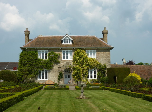
Image: © pam fray Taken: 21 Apr 2011
A grade II listed building with the round-topped Dering windows. It is part of the home farm of the Surrenden Dering estate and was built in 1813.
Images are licensed for reuse under creativecommons.org/licenses/by-sa/2.0
Image Location
Latitude
51.174609
Longitude
0.764342