Totteridge Fingerpost
Introduction
The photograph on this page of Totteridge Fingerpost by Martin Addison as part of the Geograph project.
The Geograph project started in 2005 with the aim of publishing, organising and preserving representative images for every square kilometre of Great Britain, Ireland and the Isle of Man.

There are currently over 7.5m images from over 14,400 individuals and you can help contribute to the project by visiting https://www.geograph.org.uk
Totteridge Fingerpost
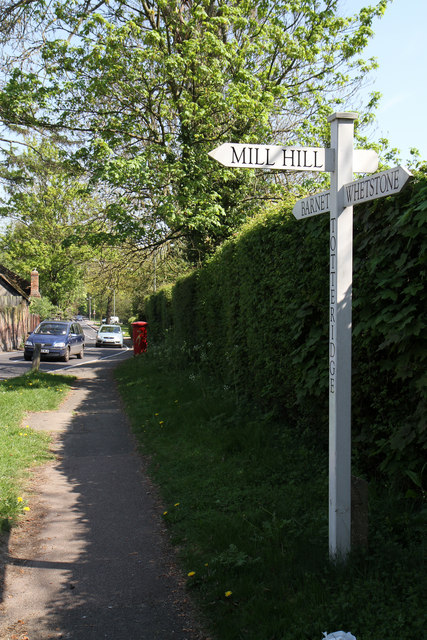
Image: © Martin Addison Taken: 19 Apr 2011
Giving directions but no distances to adjacent places. The road on the left is Barnet Lane.
Images are licensed for reuse under creativecommons.org/licenses/by-sa/2.0
Image Location
Latitude
51.633397
Longitude
-0.200585