Old Archer Wood
Introduction
The photograph on this page of Old Archer Wood by Simon Carey as part of the Geograph project.
The Geograph project started in 2005 with the aim of publishing, organising and preserving representative images for every square kilometre of Great Britain, Ireland and the Isle of Man.

There are currently over 7.5m images from over 14,400 individuals and you can help contribute to the project by visiting https://www.geograph.org.uk
Old Archer Wood
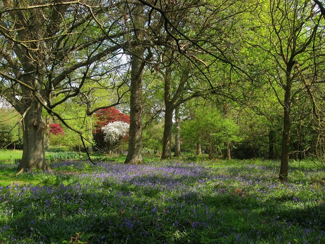
Image: © Simon Carey Taken: 20 Apr 2011
The name of the wood according to Wivelsfield's 1843 tithe map which seems to have become part of Dobsons Wood. This section carpeted with bluebells lies near the grounds of Abbots Leigh.
Images are licensed for reuse under creativecommons.org/licenses/by-sa/2.0
Image Location
Latitude
50.986059
Longitude
-0.076597