Footpath, Lyoth Common
Introduction
The photograph on this page of Footpath, Lyoth Common by Simon Carey as part of the Geograph project.
The Geograph project started in 2005 with the aim of publishing, organising and preserving representative images for every square kilometre of Great Britain, Ireland and the Isle of Man.

There are currently over 7.5m images from over 14,400 individuals and you can help contribute to the project by visiting https://www.geograph.org.uk
Footpath, Lyoth Common
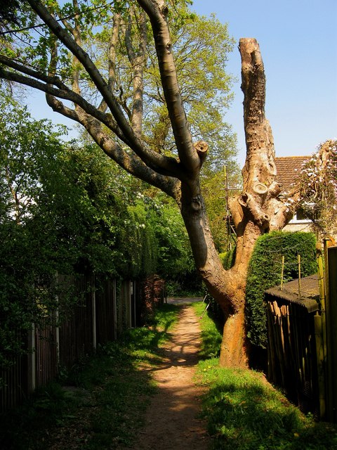
Image: © Simon Carey Taken: 20 Apr 2011
Linking Lyoth Lane to Lewes Road. The path was straightened during an 18th century enclosure and marked the boundary between the former common on the right and the site of Northlands Wood to the left. Both have now disappeared under housing estates. The area was once part of Wivelsfield parish but was transferred to Haywards Heath in 1934.
Images are licensed for reuse under creativecommons.org/licenses/by-sa/2.0
Image Location
Latitude
50.994975
Longitude
-0.077368