Houses, Beech Hill, Franklands Village
Introduction
The photograph on this page of Houses, Beech Hill, Franklands Village by Simon Carey as part of the Geograph project.
The Geograph project started in 2005 with the aim of publishing, organising and preserving representative images for every square kilometre of Great Britain, Ireland and the Isle of Man.

There are currently over 7.5m images from over 14,400 individuals and you can help contribute to the project by visiting https://www.geograph.org.uk
Houses, Beech Hill, Franklands Village
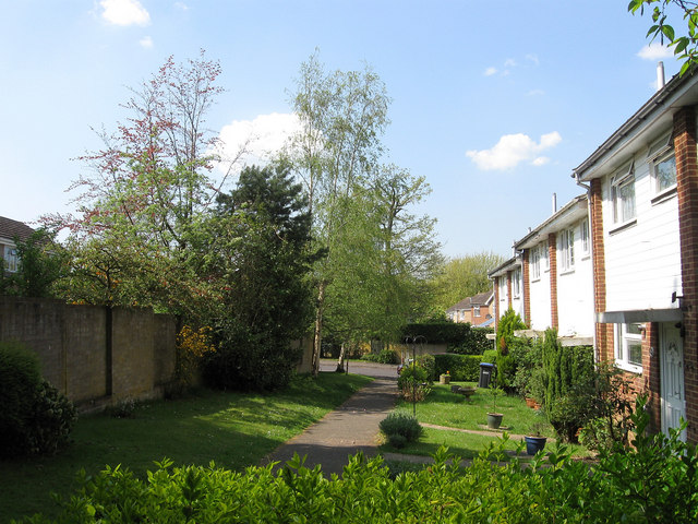
Image: © Simon Carey Taken: 20 Apr 2011
Viewed from the footpath that links Lyoth Lane to Lewes Road the houses were built in the 1980s on the site of Northlands Wood which was once the northern extremity of Wivelsfield parish but was transferred to Haywards Heath in 1934 and developed over the following decades.
Images are licensed for reuse under creativecommons.org/licenses/by-sa/2.0
Image Location
Latitude
50.996148
Longitude
-0.077605