Skiddaw from Dockrayrigg
Introduction
The photograph on this page of Skiddaw from Dockrayrigg by M J Richardson as part of the Geograph project.
The Geograph project started in 2005 with the aim of publishing, organising and preserving representative images for every square kilometre of Great Britain, Ireland and the Isle of Man.

There are currently over 7.5m images from over 14,400 individuals and you can help contribute to the project by visiting https://www.geograph.org.uk
Skiddaw from Dockrayrigg
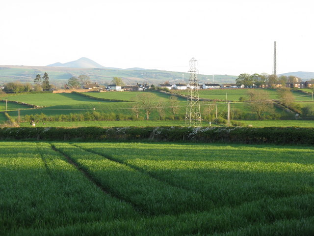
Image: © M J Richardson Taken: 17 Apr 2011
Looking south over farmland to Wigton, and beyond to Skiddaw Forest.
Images are licensed for reuse under creativecommons.org/licenses/by-sa/2.0
Image Location
Latitude
54.83934
Longitude
-3.161834