Snowdrop Lane
Introduction
The photograph on this page of Snowdrop Lane by Simon Carey as part of the Geograph project.
The Geograph project started in 2005 with the aim of publishing, organising and preserving representative images for every square kilometre of Great Britain, Ireland and the Isle of Man.

There are currently over 7.5m images from over 14,400 individuals and you can help contribute to the project by visiting https://www.geograph.org.uk
Snowdrop Lane
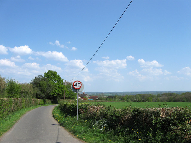
Image: © Simon Carey Taken: 20 Apr 2011
Up until the 1960s the road was called Sluts Lane but was changed for some reason to that of the pub which can be seen in the distance. The Wealden countryside between Scaynes Hill and Chailey can be seen in the distance on the next ridge.
Images are licensed for reuse under creativecommons.org/licenses/by-sa/2.0
Image Location
Latitude
50.997064
Longitude
-0.073149