Snowdrop Lane, Lyoth Common
Introduction
The photograph on this page of Snowdrop Lane, Lyoth Common by Simon Carey as part of the Geograph project.
The Geograph project started in 2005 with the aim of publishing, organising and preserving representative images for every square kilometre of Great Britain, Ireland and the Isle of Man.

There are currently over 7.5m images from over 14,400 individuals and you can help contribute to the project by visiting https://www.geograph.org.uk
Snowdrop Lane, Lyoth Common
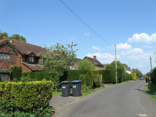
Image: © Simon Carey Taken: 20 Apr 2011
The road has had its name changed recently from Lyoth Lane which now starts at a junction beyond Image in the distance. Lyoth Common is a former common that was gradually encroached upon between the 17th and 19th centuries leaving only a small strip by the time of the tithe survey in 1843 which had soon been enclosed to become a nursery which survived until the 1970s when the area along with nearby Northlands Wood was built upon. Lyoth Common was transferred from Wivelsfield to Haywards Heath in 1934.
Images are licensed for reuse under creativecommons.org/licenses/by-sa/2.0
Image Location
Latitude
50.996177
Longitude
-0.073898