Lewes Road
Introduction
The photograph on this page of Lewes Road by Simon Carey as part of the Geograph project.
The Geograph project started in 2005 with the aim of publishing, organising and preserving representative images for every square kilometre of Great Britain, Ireland and the Isle of Man.

There are currently over 7.5m images from over 14,400 individuals and you can help contribute to the project by visiting https://www.geograph.org.uk
Lewes Road
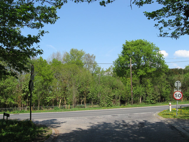
Image: © Simon Carey Taken: 20 Apr 2011
The A272 as viewed from the junction of Slugwash Lane. Once the very north east tip of the parish of Wivelsfield which was transferred to Haywards Heath in 1934.
Images are licensed for reuse under creativecommons.org/licenses/by-sa/2.0
Image Location
Latitude
50.995979
Longitude
-0.067351