Slugwash Lane
Introduction
The photograph on this page of Slugwash Lane by Simon Carey as part of the Geograph project.
The Geograph project started in 2005 with the aim of publishing, organising and preserving representative images for every square kilometre of Great Britain, Ireland and the Isle of Man.

There are currently over 7.5m images from over 14,400 individuals and you can help contribute to the project by visiting https://www.geograph.org.uk
Slugwash Lane
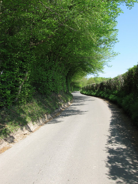
Image: © Simon Carey Taken: 20 Apr 2011
An old droving route that is now a narrow lane connecting Wivelsfield Green with the A272 near Bedales Corner. Here it is passing Dobsons Wood.
Images are licensed for reuse under creativecommons.org/licenses/by-sa/2.0
Image Location
Latitude
50.986343
Longitude
-0.072026