Cullompton: Colebrooke Lane
Introduction
The photograph on this page of Cullompton: Colebrooke Lane by Martin Bodman as part of the Geograph project.
The Geograph project started in 2005 with the aim of publishing, organising and preserving representative images for every square kilometre of Great Britain, Ireland and the Isle of Man.

There are currently over 7.5m images from over 14,400 individuals and you can help contribute to the project by visiting https://www.geograph.org.uk
Cullompton: Colebrooke Lane
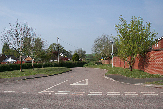
Image: © Martin Bodman Taken: 20 Apr 2011
Junction with Swallow Way on the edge of town. An urban section of the lane continues behind the camera to junction with Exeter Road
Images are licensed for reuse under creativecommons.org/licenses/by-sa/2.0
Image Location
Latitude
50.850323
Longitude
-3.400601