St Mary's Airport
Introduction
The photograph on this page of St Mary's Airport by Oliver Dixon as part of the Geograph project.
The Geograph project started in 2005 with the aim of publishing, organising and preserving representative images for every square kilometre of Great Britain, Ireland and the Isle of Man.

There are currently over 7.5m images from over 14,400 individuals and you can help contribute to the project by visiting https://www.geograph.org.uk
St Mary's Airport
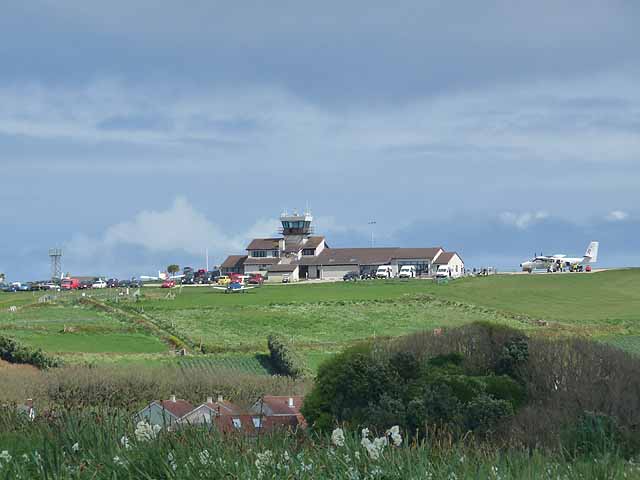
Image: © Oliver Dixon Taken: 16 Apr 2011
St Mary's Airport occupies some of the highest ground on the island. It is the principal entry point for passengers from the mainland.
Images are licensed for reuse under creativecommons.org/licenses/by-sa/2.0
Image Location


Leaflet Map data © OpenStreetMap
Latitude
49.915034
Longitude
-6.296171