Crossing Traboyack Burn
Introduction
The photograph on this page of Crossing Traboyack Burn by Mary and Angus Hogg as part of the Geograph project.
The Geograph project started in 2005 with the aim of publishing, organising and preserving representative images for every square kilometre of Great Britain, Ireland and the Isle of Man.

There are currently over 7.5m images from over 14,400 individuals and you can help contribute to the project by visiting https://www.geograph.org.uk
Crossing Traboyack Burn
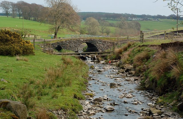
Image: © Mary and Angus Hogg Taken: 19 Apr 2011
This interesting little bridge carries the access road for some farm buildings and the forested land beyond them.
Images are licensed for reuse under creativecommons.org/licenses/by-sa/2.0
Image Location
Latitude
55.190345
Longitude
-4.752775