A40 Oxford Ring Road - Sunderland Avenue
Introduction
The photograph on this page of A40 Oxford Ring Road - Sunderland Avenue by Peter Whatley as part of the Geograph project.
The Geograph project started in 2005 with the aim of publishing, organising and preserving representative images for every square kilometre of Great Britain, Ireland and the Isle of Man.

There are currently over 7.5m images from over 14,400 individuals and you can help contribute to the project by visiting https://www.geograph.org.uk
A40 Oxford Ring Road - Sunderland Avenue
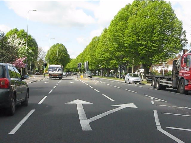
Image: © Peter Whatley Taken: 12 Apr 2011
This is the only section of Oxford's ring road which is not a dual carriageway. As with most of north Oxford suburbia, there is plenty of greenery.
Images are licensed for reuse under creativecommons.org/licenses/by-sa/2.0
Image Location
Latitude
51.788028
Longitude
-1.272742