Lane junction west of Rudgwick
Introduction
The photograph on this page of Lane junction west of Rudgwick by Dave Spicer as part of the Geograph project.
The Geograph project started in 2005 with the aim of publishing, organising and preserving representative images for every square kilometre of Great Britain, Ireland and the Isle of Man.

There are currently over 7.5m images from over 14,400 individuals and you can help contribute to the project by visiting https://www.geograph.org.uk
Lane junction west of Rudgwick
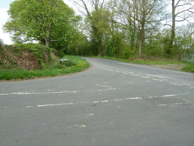
Image: © Dave Spicer Taken: 17 Apr 2011
Hillhouse Lane meets Knowle Lane which becomes Cooks Hill to the right.
Images are licensed for reuse under creativecommons.org/licenses/by-sa/2.0
Image Location
Latitude
51.097148
Longitude
-0.474457