Swinderby village hall
Introduction
The photograph on this page of Swinderby village hall by Jonathan Billinger as part of the Geograph project.
The Geograph project started in 2005 with the aim of publishing, organising and preserving representative images for every square kilometre of Great Britain, Ireland and the Isle of Man.

There are currently over 7.5m images from over 14,400 individuals and you can help contribute to the project by visiting https://www.geograph.org.uk
Swinderby village hall
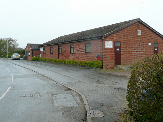
Image: © Jonathan Billinger Taken: 30 Mar 2011
Functional if not very exciting architecture. Bulpit Lane runs alongside to the left.
Images are licensed for reuse under creativecommons.org/licenses/by-sa/2.0
Image Location
Latitude
53.15743
Longitude
-0.703793