St Andrew's Episcopal Church
Introduction
The photograph on this page of St Andrew's Episcopal Church by Kenneth Allen as part of the Geograph project.
The Geograph project started in 2005 with the aim of publishing, organising and preserving representative images for every square kilometre of Great Britain, Ireland and the Isle of Man.

There are currently over 7.5m images from over 14,400 individuals and you can help contribute to the project by visiting https://www.geograph.org.uk
St Andrew's Episcopal Church
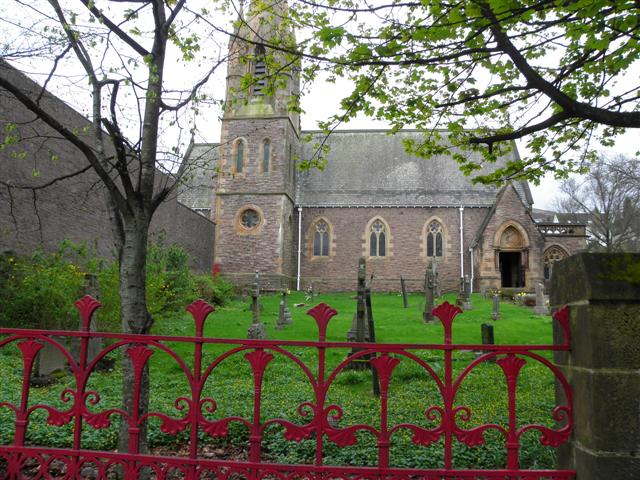
Image: © Kenneth Allen Taken: 16 Apr 2011
The first Episcopal church building was erected on this site in 1817. It was known as the Rosse Chapel, after the Countess of Rosse who was largely responsible for its being built. By 1876 it was in a bad state of repair and the future looked blank until George Baynton Davey had the building demolished and replaced, very largely at his own expense, by the present St Andrew's.
Images are licensed for reuse under creativecommons.org/licenses/by-sa/2.0
Image Location
Latitude
56.81868
Longitude
-5.109784