A path over open ground near Laygate, High Shields
Introduction
The photograph on this page of A path over open ground near Laygate, High Shields by Stanley Howe as part of the Geograph project.
The Geograph project started in 2005 with the aim of publishing, organising and preserving representative images for every square kilometre of Great Britain, Ireland and the Isle of Man.

There are currently over 7.5m images from over 14,400 individuals and you can help contribute to the project by visiting https://www.geograph.org.uk
A path over open ground near Laygate, High Shields
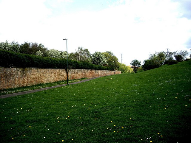
Image: © Stanley Howe Taken: 16 Apr 2011
There is a mosque and school just off right, but can anyone please tell me what might be within the walled enclosure left?
Images are licensed for reuse under creativecommons.org/licenses/by-sa/2.0
Image Location
Latitude
54.9909
Longitude
-1.44046