Burned Out Farmhouse
Introduction
The photograph on this page of Burned Out Farmhouse by Bob Embleton as part of the Geograph project.
The Geograph project started in 2005 with the aim of publishing, organising and preserving representative images for every square kilometre of Great Britain, Ireland and the Isle of Man.

There are currently over 7.5m images from over 14,400 individuals and you can help contribute to the project by visiting https://www.geograph.org.uk
Burned Out Farmhouse
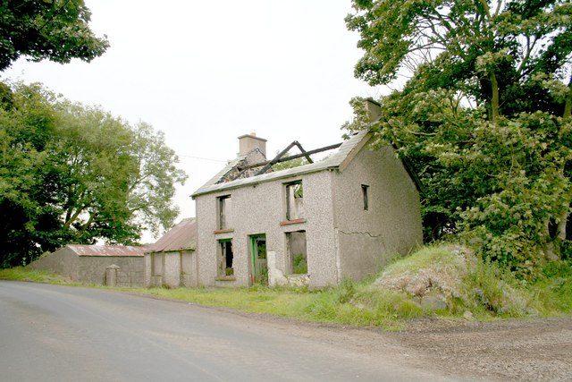
Image: © Bob Embleton Taken: 20 Aug 2006
One of many in this area. Whilst new houses are being built, others are left boarded up.
Images are licensed for reuse under creativecommons.org/licenses/by-sa/2.0
Image Location


Leaflet Map data © OpenStreetMap
Latitude
55.214108
Longitude
-6.436006