Cave Dale
Introduction
The photograph on this page of Cave Dale by Ashley Dace as part of the Geograph project.
The Geograph project started in 2005 with the aim of publishing, organising and preserving representative images for every square kilometre of Great Britain, Ireland and the Isle of Man.

There are currently over 7.5m images from over 14,400 individuals and you can help contribute to the project by visiting https://www.geograph.org.uk
Cave Dale
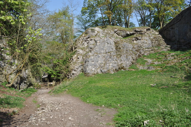
Image: © Ashley Dace Taken: 19 Apr 2011
The Castleton start of the Cave Dale walk, a collapsed Limestone cavern. It also looks like there has been some quarrying.
Images are licensed for reuse under creativecommons.org/licenses/by-sa/2.0
Image Location
Latitude
53.340989
Longitude
-1.775126