Garendon Park
Introduction
The photograph on this page of Garendon Park by Alan Murray-Rust as part of the Geograph project.
The Geograph project started in 2005 with the aim of publishing, organising and preserving representative images for every square kilometre of Great Britain, Ireland and the Isle of Man.

There are currently over 7.5m images from over 14,400 individuals and you can help contribute to the project by visiting https://www.geograph.org.uk
Garendon Park
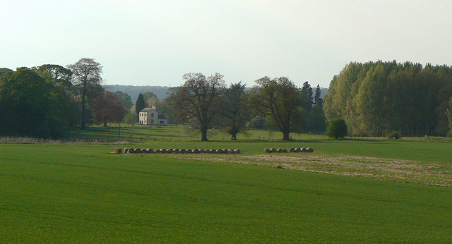
Image: © Alan Murray-Rust Taken: 16 Apr 2011
The original house stood behind the clump of trees to the left, and was on the site of a Cistercian monastery. The area is now largely given over to agriculture.
Images are licensed for reuse under creativecommons.org/licenses/by-sa/2.0
Image Location
Latitude
52.773547
Longitude
-1.256137