Dover Street, Maidstone, Kent
Introduction
The photograph on this page of Dover Street, Maidstone, Kent by Rodney Burton as part of the Geograph project.
The Geograph project started in 2005 with the aim of publishing, organising and preserving representative images for every square kilometre of Great Britain, Ireland and the Isle of Man.

There are currently over 7.5m images from over 14,400 individuals and you can help contribute to the project by visiting https://www.geograph.org.uk
Dover Street, Maidstone, Kent
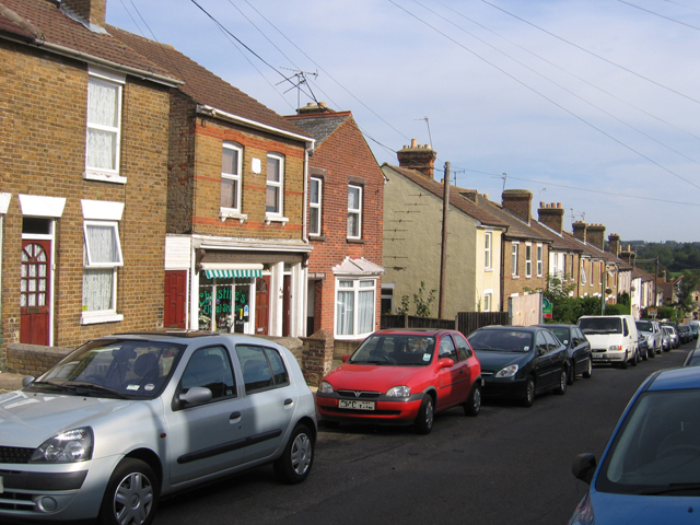
Image: © Rodney Burton Taken: 9 Sep 2006
off Upper Fant Road, with houses dating from the 1890s.
Images are licensed for reuse under creativecommons.org/licenses/by-sa/2.0
Image Location
Latitude
51.265866
Longitude
0.497861