Littleborough Cross
Introduction
The photograph on this page of Littleborough Cross by Derek Harper as part of the Geograph project.
The Geograph project started in 2005 with the aim of publishing, organising and preserving representative images for every square kilometre of Great Britain, Ireland and the Isle of Man.

There are currently over 7.5m images from over 14,400 individuals and you can help contribute to the project by visiting https://www.geograph.org.uk
Littleborough Cross
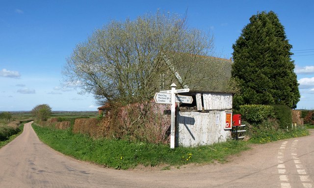
Image: © Derek Harper Taken: 12 Apr 2011
Showing the same features as Image, plus the roof of the chapel, which now appears on the 1:25000 map. The Elizabth II postbox is number EX17 491. On the left is the lane to henceford.
Images are licensed for reuse under creativecommons.org/licenses/by-sa/2.0
Image Location
Latitude
50.8822
Longitude
-3.67706