Back Lane
Introduction
The photograph on this page of Back Lane by Alan Murray-Rust as part of the Geograph project.
The Geograph project started in 2005 with the aim of publishing, organising and preserving representative images for every square kilometre of Great Britain, Ireland and the Isle of Man.

There are currently over 7.5m images from over 14,400 individuals and you can help contribute to the project by visiting https://www.geograph.org.uk
Back Lane
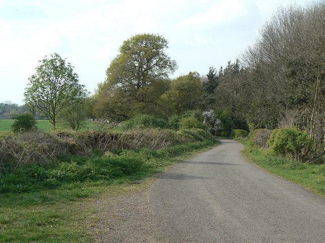
Image: © Alan Murray-Rust Taken: 16 Apr 2011
Even looking at old maps it is not clear whether this was a public lane or an estate track. It runs along the northern boundary of Garendon Park and comes to a more or less dead end where it hits modern housing development at Coe Avenue. Today it is a public footpath and cycleway, forming part of Sustrans route 6.
Images are licensed for reuse under creativecommons.org/licenses/by-sa/2.0
Image Location
Latitude
52.776849
Longitude
-1.252226