Manor Farm Road, Norbury, from the train
Introduction
The photograph on this page of Manor Farm Road, Norbury, from the train by Christopher Hilton as part of the Geograph project.
The Geograph project started in 2005 with the aim of publishing, organising and preserving representative images for every square kilometre of Great Britain, Ireland and the Isle of Man.

There are currently over 7.5m images from over 14,400 individuals and you can help contribute to the project by visiting https://www.geograph.org.uk
Manor Farm Road, Norbury, from the train
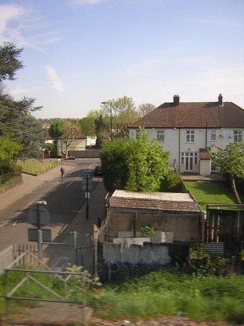
Image: © Christopher Hilton Taken: 19 Apr 2011
The suburbia round here, be it inter-war semis or Victorian terraces, dates from after the coming of the railway and accordingly the street pattern works around the railway lines: this is one of the few crossings of the line between Norbury and Thornton Heath stations.
Images are licensed for reuse under creativecommons.org/licenses/by-sa/2.0
Image Location
Latitude
51.409269
Longitude
-0.115257