Benchmark, Lansdown Road
Introduction
The photograph on this page of Benchmark, Lansdown Road by Neil Owen as part of the Geograph project.
The Geograph project started in 2005 with the aim of publishing, organising and preserving representative images for every square kilometre of Great Britain, Ireland and the Isle of Man.

There are currently over 7.5m images from over 14,400 individuals and you can help contribute to the project by visiting https://www.geograph.org.uk
Benchmark, Lansdown Road
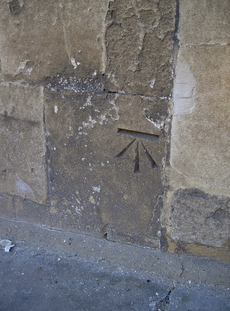
Image: © Neil Owen Taken: 8 Apr 2011
A nicely preserved cut mark on the road up to St Stephen's church. See http://www.bench-marks.org.uk/bm37603 for the Benchmark Database, and Image] for a location view.
Images are licensed for reuse under creativecommons.org/licenses/by-sa/2.0
Image Location
Latitude
51.391123
Longitude
-2.36428