disused Cottar Houses, North Collielaw
Introduction
The photograph on this page of disused Cottar Houses, North Collielaw by Ken Fitlike as part of the Geograph project.
The Geograph project started in 2005 with the aim of publishing, organising and preserving representative images for every square kilometre of Great Britain, Ireland and the Isle of Man.

There are currently over 7.5m images from over 14,400 individuals and you can help contribute to the project by visiting https://www.geograph.org.uk
disused Cottar Houses, North Collielaw
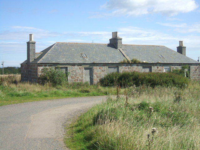
Image: © Ken Fitlike Taken: 31 Aug 2006
Tied cottage to 2 families of 'Farm Servants' as the farm labourers were known.
Images are licensed for reuse under creativecommons.org/licenses/by-sa/2.0
Image Location
Latitude
57.483445
Longitude
-1.843213