Blackawton: Normandy Arms
Introduction
The photograph on this page of Blackawton: Normandy Arms by Martin Bodman as part of the Geograph project.
The Geograph project started in 2005 with the aim of publishing, organising and preserving representative images for every square kilometre of Great Britain, Ireland and the Isle of Man.

There are currently over 7.5m images from over 14,400 individuals and you can help contribute to the project by visiting https://www.geograph.org.uk
Blackawton: Normandy Arms
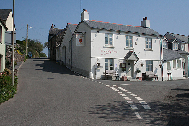
Image: © Martin Bodman Taken: 18 Apr 2011
Closed on Monday lunchtimes. By the turning to Strete: Chapel Street. Normandy Arms and Forces Tavern, to the north of the village, were both re-named, presumably, in recognition of the wartime army in the area in 1944
Images are licensed for reuse under creativecommons.org/licenses/by-sa/2.0
Image Location


Leaflet Map data © OpenStreetMap
Latitude
50.346699
Longitude
-3.67864