Bankside Farm
Introduction
The photograph on this page of Bankside Farm by Simon Carey as part of the Geograph project.
The Geograph project started in 2005 with the aim of publishing, organising and preserving representative images for every square kilometre of Great Britain, Ireland and the Isle of Man.

There are currently over 7.5m images from over 14,400 individuals and you can help contribute to the project by visiting https://www.geograph.org.uk
Bankside Farm
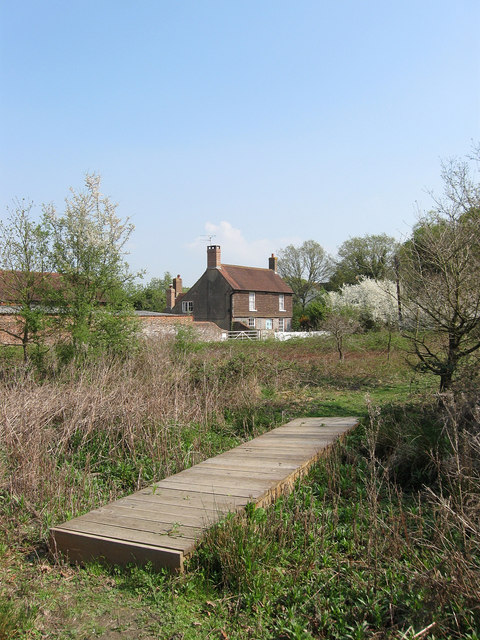
Image: © Simon Carey Taken: 17 Apr 2011
Another view of Image but without the thick summer foliage. The house is a classic example of setting up a farm on the edge of a common to enable use of both private enclosed fields beyond and open common pasture in the foreground. The farm itself dates from the medieval period but the current farmhouse was rebuilt in the 18th century.
Images are licensed for reuse under creativecommons.org/licenses/by-sa/2.0
Image Location
Latitude
50.961043
Longitude
-0.097709