2011 : Romney Avenue, Bristol
Introduction
The photograph on this page of 2011 : Romney Avenue, Bristol by Maurice Pullin as part of the Geograph project.
The Geograph project started in 2005 with the aim of publishing, organising and preserving representative images for every square kilometre of Great Britain, Ireland and the Isle of Man.

There are currently over 7.5m images from over 14,400 individuals and you can help contribute to the project by visiting https://www.geograph.org.uk
2011 : Romney Avenue, Bristol
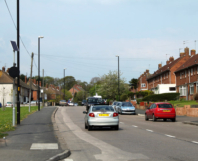
Image: © Maurice Pullin Taken: 17 Apr 2011
Heading north east toward Lockleaze. The round black thing near the left hand edge lights up when errant drivers exceed the 30 mph speed limit. Saw it light up once while there, waited in vain for a picture. They are all good people in Lockleaze.
Images are licensed for reuse under creativecommons.org/licenses/by-sa/2.0
Image Location
Latitude
51.48373
Longitude
-2.569082