Ballycultra Triangulation Pillar
Introduction
The photograph on this page of Ballycultra Triangulation Pillar by Rossographer as part of the Geograph project.
The Geograph project started in 2005 with the aim of publishing, organising and preserving representative images for every square kilometre of Great Britain, Ireland and the Isle of Man.

There are currently over 7.5m images from over 14,400 individuals and you can help contribute to the project by visiting https://www.geograph.org.uk
Ballycultra Triangulation Pillar
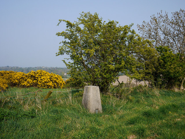
Image: © Rossographer Taken: 18 Apr 2011
Trig pillar located in a field in Ballycultra townland, north-east of Holywood. The pillar can be accessed via Whinney Hill and a short walk across fields. The pillar is in fairly good condition, but views are limited from this location - mainly west out over Belfast and Belfast Lough. See also Image and Image
Images are licensed for reuse under creativecommons.org/licenses/by-sa/2.0
Image Location
Latitude
54.641954
Longitude
-5.801392