Houses in Bangor Street, Y Felinheli
Introduction
The photograph on this page of Houses in Bangor Street, Y Felinheli by Eric Jones as part of the Geograph project.
The Geograph project started in 2005 with the aim of publishing, organising and preserving representative images for every square kilometre of Great Britain, Ireland and the Isle of Man.

There are currently over 7.5m images from over 14,400 individuals and you can help contribute to the project by visiting https://www.geograph.org.uk
Houses in Bangor Street, Y Felinheli
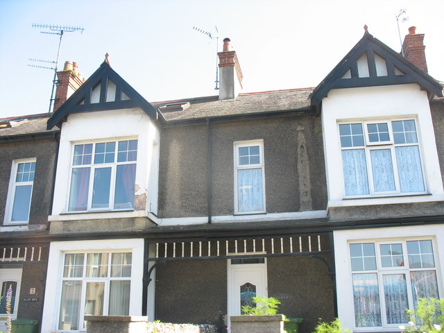
Image: © Eric Jones Taken: 9 Sep 2006
These terraced houses date from the Victorian period when Y Felinheli (then also known as Port Dinorwic) was an important slate exporting port. Prior to the construction of the Felinheli by-pass, Bangor Street and Caernarfon Street,(its western continuation), were part of the busy A487(T) road.
Images are licensed for reuse under creativecommons.org/licenses/by-sa/2.0
Image Location
Latitude
53.184987
Longitude
-4.208863