A580 heads across Lancashire
Introduction
The photograph on this page of A580 heads across Lancashire by Peter Whatley as part of the Geograph project.
The Geograph project started in 2005 with the aim of publishing, organising and preserving representative images for every square kilometre of Great Britain, Ireland and the Isle of Man.

There are currently over 7.5m images from over 14,400 individuals and you can help contribute to the project by visiting https://www.geograph.org.uk
A580 heads across Lancashire
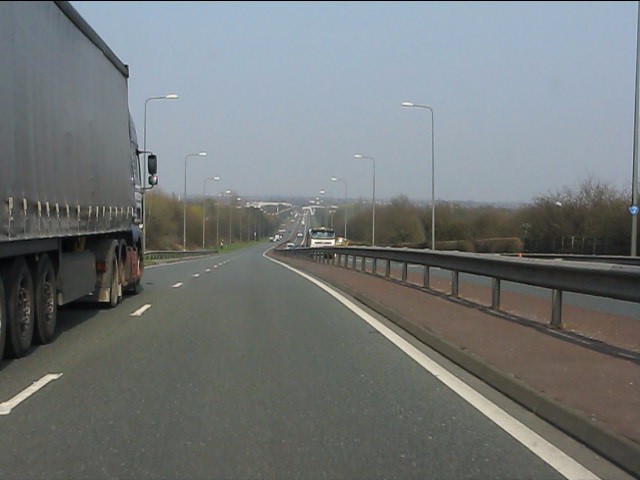
Image: © Peter Whatley Taken: 24 Mar 2011
Viewed from the Bridgewater Canal bridge, the East Lancashire Road runs straight across the south Lancashire plain towards Boothstown.
Images are licensed for reuse under creativecommons.org/licenses/by-sa/2.0
Image Location
Latitude
53.495645
Longitude
-2.457597