Old Church Lane, Pateley Bridge
Introduction
The photograph on this page of Old Church Lane, Pateley Bridge by Bill Boaden as part of the Geograph project.
The Geograph project started in 2005 with the aim of publishing, organising and preserving representative images for every square kilometre of Great Britain, Ireland and the Isle of Man.

There are currently over 7.5m images from over 14,400 individuals and you can help contribute to the project by visiting https://www.geograph.org.uk
Old Church Lane, Pateley Bridge
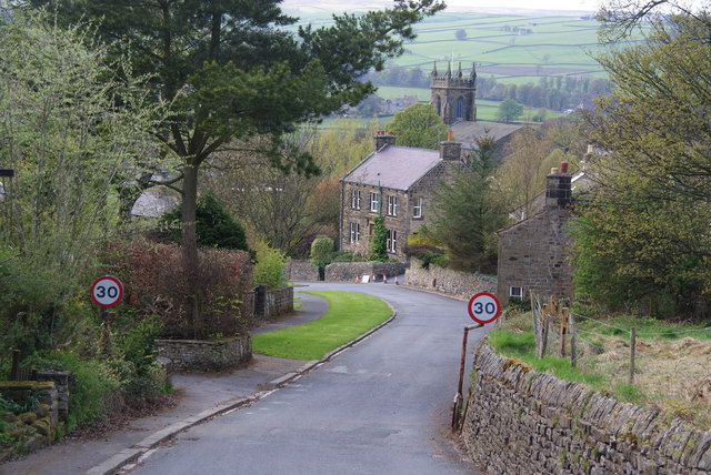
Image: © Bill Boaden Taken: 16 Apr 2011
Entering the town down a steep hill. The lane is named after St Mary's Church back up the hill which is now in disuse but maintained as a ruin.
Images are licensed for reuse under creativecommons.org/licenses/by-sa/2.0
Image Location
Latitude
54.086964
Longitude
-1.755983