Pateley Bridge from the lower end of Ladies Riggs
Introduction
The photograph on this page of Pateley Bridge from the lower end of Ladies Riggs by Bill Boaden as part of the Geograph project.
The Geograph project started in 2005 with the aim of publishing, organising and preserving representative images for every square kilometre of Great Britain, Ireland and the Isle of Man.

There are currently over 7.5m images from over 14,400 individuals and you can help contribute to the project by visiting https://www.geograph.org.uk
Pateley Bridge from the lower end of Ladies Riggs
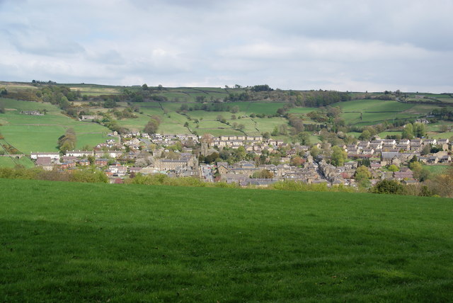
Image: © Bill Boaden Taken: 16 Apr 2011
There is a clear view of St Cuthbert's Church at the top of King Street.
Images are licensed for reuse under creativecommons.org/licenses/by-sa/2.0
Image Location
Latitude
54.086974
Longitude
-1.760875