Witheridge: New Hole Farm
Introduction
The photograph on this page of Witheridge: New Hole Farm by Martin Bodman as part of the Geograph project.
The Geograph project started in 2005 with the aim of publishing, organising and preserving representative images for every square kilometre of Great Britain, Ireland and the Isle of Man.

There are currently over 7.5m images from over 14,400 individuals and you can help contribute to the project by visiting https://www.geograph.org.uk
Witheridge: New Hole Farm
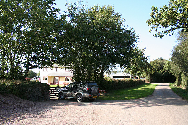
Image: © Martin Bodman Taken: 9 Sep 2006
Looking north-north-west. This farm has been built since the 1976 Ordnance Survey Pathfinder map for Tiverton was published. By the road to Bradford Mill and Bradford Tracy
Images are licensed for reuse under creativecommons.org/licenses/by-sa/2.0
Image Location
Latitude
50.924926
Longitude
-3.682723