Rackenford: old way
Introduction
The photograph on this page of Rackenford: old way by Martin Bodman as part of the Geograph project.
The Geograph project started in 2005 with the aim of publishing, organising and preserving representative images for every square kilometre of Great Britain, Ireland and the Isle of Man.

There are currently over 7.5m images from over 14,400 individuals and you can help contribute to the project by visiting https://www.geograph.org.uk
Rackenford: old way
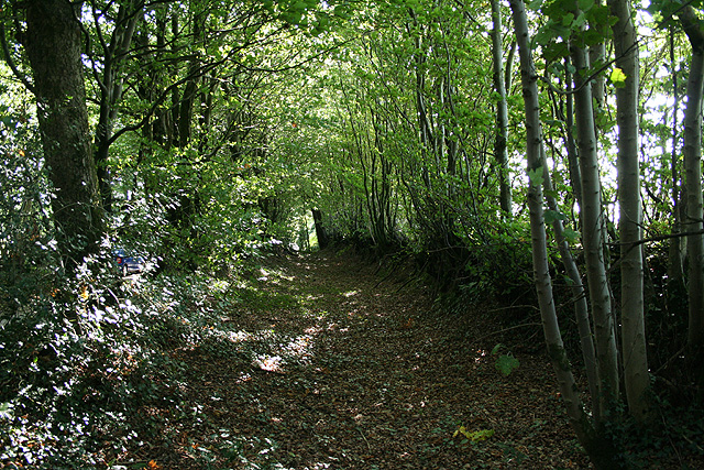
Image: © Martin Bodman Taken: 9 Sep 2006
The old road to Horestone Cross may have incorporated this way, abandoned perhaps in favour of the narrower lane, which adjoins to the right, once sheep droving ceased
Images are licensed for reuse under creativecommons.org/licenses/by-sa/2.0
Image Location


Leaflet Map data © OpenStreetMap
Latitude
50.940666
Longitude
-3.599454