Victoria Road
Introduction
The photograph on this page of Victoria Road by John Sutton as part of the Geograph project.
The Geograph project started in 2005 with the aim of publishing, organising and preserving representative images for every square kilometre of Great Britain, Ireland and the Isle of Man.

There are currently over 7.5m images from over 14,400 individuals and you can help contribute to the project by visiting https://www.geograph.org.uk
Victoria Road
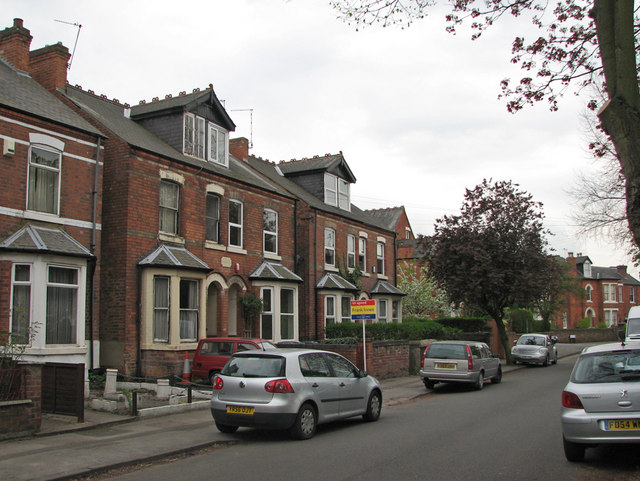
Image: © John Sutton Taken: 14 Apr 2011
Bad light stopped play early on the first day of the County Championship season at Trent Bridge, so I went for a look at Victoria Road. My great grandparents and later my great aunts lived at the semi with the traffic cone in front of its bay window. Its interior remained an Edwardian time capsule into the 1960s. For a view of it in the 1920s, see Image (Notts began their defence of the title by beating Hampshire by 9 wickets on the third day.)
Images are licensed for reuse under creativecommons.org/licenses/by-sa/2.0
Image Location
Latitude
52.929881
Longitude
-1.137124